Wyoming sees mixed skies and windy gusts on Friday
Highs reach the 50s and 60s across the state, with strong winds expected in the northeast and Bighorn Basin.
By Alyssa Parker ·
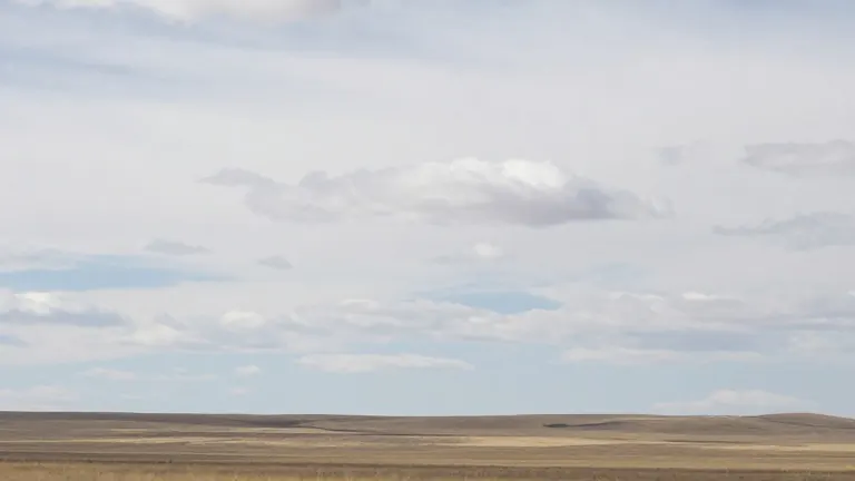
Cheyenne and Wyoming residents can expect a mix of sun and clouds on Friday, November 13, according to the daily weather forecast issued by Don Day. The day will bring highs in the 50s and 60s statewide, while overnight lows will drop from the mid-20s to near 40. Conditions will shift from partly sunny to mostly cloudy as the day progresses, setting the stage for cooler temperatures after sunset.
Wind will be a major factor in several regions on Friday. In the northeast, Gillette faces wind gusts as high as 33 mph, while Mooroft and Kaycee also report gusts in the 30 mph range. The Bighorn Basin will see Thermopolis experience gusts reaching 31 mph. These winds will continue into the overnight hours, with Gillette forecasted to have gusts up to 36 mph after dark.
Precipitation chances are low for most of the state but present in specific areas late in the day or overnight. Evanston in the southwest has a chance of rain after 11 p.m. Pinedale and Big Piney in western Wyoming face a slight chance of rain or snow after 4 a.m. Jackson in the northwest may see rain and snow after 1 a.m. These early morning precipitation events coincide with the lowest temperature readings of the day.
The central and eastern plains will generally remain dry with moderate temperatures. Cheyenne is forecast to be mostly sunny with a high near 61, cooling to 32 overnight. Laramie will see partly sunny skies with a high of 59. Buffalo in the north central region will be the warmest spot, reaching a high of 68, though breezy conditions will persist with gusts up to 29 mph. Torringhton in the eastern plains will be mostly sunny with a high near 62.
Contextually, this Friday forecast represents a typical transitional day in late autumn for Wyoming. The mix of cloud cover and wind helps moderate daytime highs, preventing them from reaching summer levels. The forecast highlights the variance between the warmer northern plains and the cooler western mountain areas. For instance, Buffalo at 68 degrees is 13 degrees warmer than Pinedale at 50 degrees. These temperature differentials are common during this time of year as air masses move across the diverse terrain of the state.