New England returns to typical late-November temperatures after brief warm spell
Forecasters expect highs in the 50s and lows in the 30s, with a potential for snow in higher areas by the end of the week.
By Alyssa Parker ·
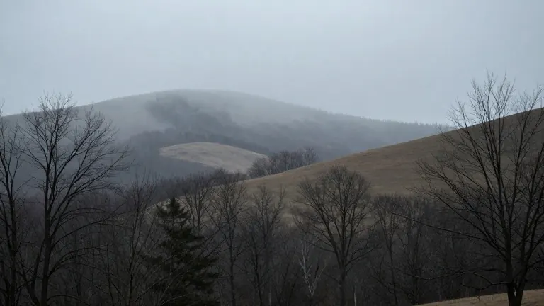
Weather patterns in New England have shifted back to seasonal norms following a period of unseasonably warm conditions in early September. The region experienced heavy rainfall from Friday through Saturday, but temperatures have since dropped to typical late-November ranges.
Current forecasts indicate daily highs in the 50s and overnight lows in the 30s. Spotty showers are expected from mid-morning to early afternoon on Monday, with highs reaching the mid-50s. Tuesday will remain dry with similar temperature ranges, while Veterans Day on Wednesday features mostly sunny skies and upper 50s highs.
Thursday will be primarily dry until sunset, setting the stage for a developing storm system. A low-pressure system is moving north from the south as energy moves off the East Coast. Rain may expand from Thursday night into Friday, bringing with it chilly air from the north.
This cold air could cause the precipitation to change to wet snow in higher terrain. Meteorians note that the amount of rain or snow depends on the track and development of the low-pressure system. Detailed predictions are not yet available, but the situation warrants monitoring.
One model suggests a chance of at least one inch of snow is concentrated in elevated areas. The forecast favors higher terrain for snowfall, while lower elevations are more likely to receive rain or mixed precipitation as the system evolves over the weekend.