Wyoming Sets Warmth Record
Photographers in Pinedale report lingering autumn colors while those in Cody and Jackson describe a dry, colorless fall.
By Simon Bennett ·
Cheyenne and surrounding areas are approaching the end of what may be the warmest year in the state’s recorded history. The National Weather Service office in Riverton reports that nearly every monitoring location in Wyoming averaged three to six degrees above normal temperatures between Jan. 1 and Nov. 8, 2026.
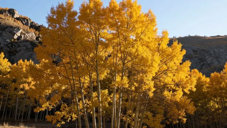
In Pinedale, photographer Dave Bell described a fall season that has lasted far longer than usual. He noted that aspens and cottonwoods retained their leaves well into mid-November, allowing him to capture extensive photographic opportunities across Sublette County. Bell also reported seeing an unusually high number of large mule deer bucks migrating through the area.
The lack of wind and consistent warmth contributed to the extended autumn season. Big Piney, located just south of Pinedale, recorded an average temperature of 45.9 degrees for the first ten months of the year. This figure marks the warmest start to a calendar year on record for that location, which is nearly six degrees warmer than its historical average.
Conditions in northern and central Wyoming presented a different picture. Photographer Laura Redmond visited hot spots such as Oxbow Bend in Grand Teton National Park and Mormon Row but found the foliage disappointing. She reported that many trees failed to change color properly, with leaves drying out and falling off without turning yellow or red. Redmond observed that the grass around the famous barns at Mormon Row was almost completely gone due to a lack of moisture.
Jackson Hole experienced similar dry conditions. The average temperature from January through November was 44.7 degrees, compared to a historical average of 41.1 degrees since 1921. While Jackson received above-average precipitation, the overall dryness affected the vegetation. Redmond noted that Yellowstone National Park closed its entrances for the summer season without any visible signs of winter, as rain replaced the snow that typically appears in late autumn.
Meteorologist Don Day of Cowboy State Daily confirmed that no month this year has been colder than average. He explained that the absence of a traditional cold winter, driven by atmospheric patterns in the Arctic, has left trees stressed. Shane Smith, former director of the Cheyenne Botanic Gardens, said that drought conditions cause trees to drop their leaves early as a survival mechanism to conserve water, particularly affecting younger aspens in areas with high sun exposure.
NWS Cheyenne is tracking a potential record for the latest first snowfall in the city’s history. The previous record was set on Nov. 20, 1900. With no snow expected for the next week and only days remaining in November, the current streak is close to breaking that century-old benchmark.
Day predicted that colder air will move across Wyoming during the week of Thanksgiving. He cited the early collapse of the polar vortex and the influence of a strong El Niño as factors that will bring stormy weather and lower temperatures to the region by late November.
More News · Cheyenne news · Report a business · Got a Story?