Cheyenne Fog Advisory Ends at 9 a.m., Winds Push Highs Toward 60
The National Weather Service in Cheyenne issued a Dense Fog Advisory for the I-80 Summit and Laramie County through 9 a.m., with visibility below a quarter mile.
By Alyssa Parker ·
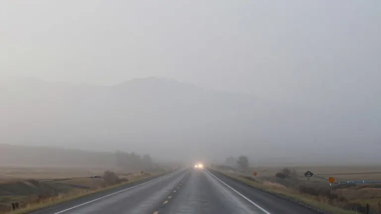
Dense fog cut visibility below one-quarter of a mile across Cheyenne and Laramie County early Tuesday, prompting the National Weather Service in Cheyenne to keep a Dense Fog Advisory in place until 9 a.m. for the Interstate 80 Summit, Cheyenne, and central and eastern Laramie County.
Meteorologists said rising winds would stir the low-level moisture and push the fog out. After the fog clears, skies turn mostly sunny and temperatures reach near 60 degrees. Cheyenne's wind shifts to the south at 5 to 15 mph during the afternoon.
A High Wind Watch runs through noon for wind-prone stretches of I-80, including Arlington, and parts of the Snowy Range, where gusts could hit 55 mph.
Tonight brings increasing clouds with a low around 37 degrees. South winds run 5 to 10 mph, turning west after midnight.
Wednesday starts cloudy through mid-morning before gradual clearing, with a high near 63 degrees. West winds grow from 10 to 15 mph to 15 to 20 mph in the afternoon, gusting to 30 mph. Wednesday night drops to about 34 degrees under mostly clear skies.
Thursday reaches 61 degrees under mostly sunny skies, Friday hits 63, and Saturday tops out at 64 with a slight chance of showers after midnight. A chance of showers arrives Sunday, with rain and snow showers likely Sunday night and a low near 34. Monday holds a chance of rain and snow showers with a high near 50 and breezy conditions.
Southeast Wyoming could see colder air and rain and snow showers starting Sunday night, according to the National Weather Service.
Source: Cap City News · original report published